Home System Scope Gantt Chart Time-line Walkthrough Journal About Me
Walkthrough
Presentation
Download Presentation
Overview
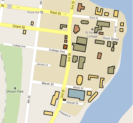
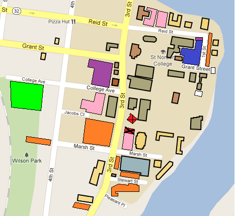
Going into the Walkthough I had decided on using a fixed screen capture of the heart of the St. Norbert campus from Google Maps. I would use layers that would allow the user to decide, based on a category, what points of interests are highlighted for them. This would reduce unnecessary clutter for the user. This is evident by looking at the map with all the campus buildings versus the map with all the buildings and car parks. As seen below...
All Campus Buildings
All Campus Buildings & All Car Parks
- Suggestions:
- - Instead of not drawing nonactive layers, have a grey layer for nonactive building layers so the user sees they exist, but are not detracting from what the user is looking for
- - Arrow pointing off screen to let users know about Schneider Stadium's presence away from the heart of campus
- - Look into Android tutroil for Google. Help understand Google Maps integration with Android
- - Check Drew Nackers website to better understand coordinate gathering